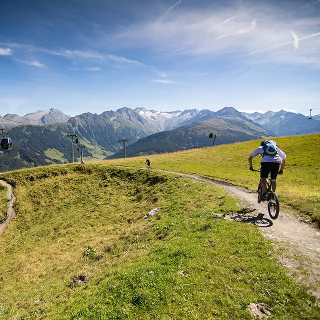
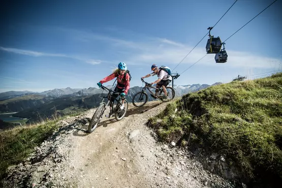
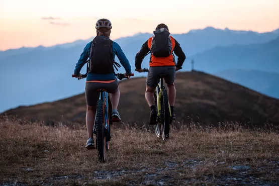
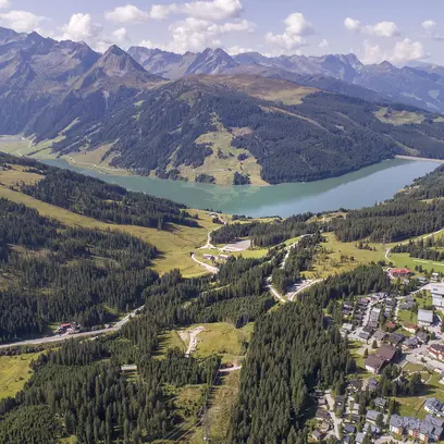
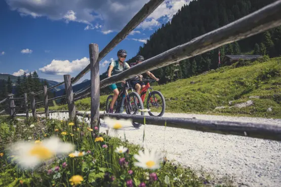
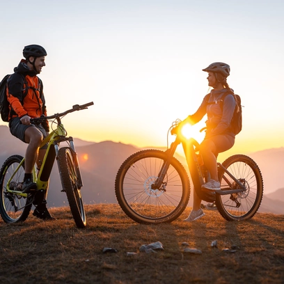
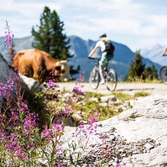
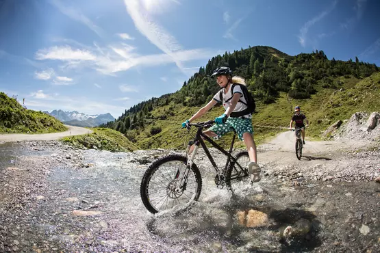
Whether e-bike or mountain bike - there's plenty to see here! Our partner Sports & More Unterwurzacher is located in Wald next to the Kristallbad where you can hire your bikes - the competent staff on site will be happy to advise you!
As a hotel guest you get the e-bikes at a special price!
Mobility offer e-BOB: Comfortable and environmentally friendly to the most beautiful panoramas in the Alps. In Wald-Königsleiten, e-bikes under the name e-BOB (= movement without burden) offer even more CO2-neutral transport and mobility for holidaymakers. E-bikes offer an environmentally friendly alternative to travelling in the mountains in the Zillertal Arena.
Start: Isskogelbahn mountain station End: Wiesenweg 6.8 km | easy
Both trails are particularly suitable for beginners and for the start of the season.
Both trails start at the Isskogel mountain station, running alongside the ski run, before winding their way into the Barmbach valley. With a few bends and numerous undulations, the trail descends slightly, runs close to the road and then crosses the Krummbach run. Once you reach the gravel road, do not turn left into the forest, but follow the gravel path until, after two hairpin bends, you pass under the Dorfbahn – first on a slight descent, then a gentle climb – and follow the gravel road through the forest for another approx. 1 km. At the next junction, keep left and briefly dismount at the chain barrier. 50 metres further on, a marker shows you the way into the forest. The final 1,200 metres is an easy and ‘flowing’ trail. After just under 100 metres, the trail splits into two possible routes. Both routes can generally be described as easy. Starting through the forest, there is a clearing with gentle bends and undulations. You then cross the gravel road again and, just like in the upper section, the descent back down to the gravel path is wonderfully easy and “flowing”. From here, the farm track runs 300 metres on level ground past a barrier and across to the tarmac meadow path. The remaining 3 km on tarmac take you down into the Inn Valley and back to the valley station of the Isskogelbahn.
With our complimentary Free Mountaincard, you can use the Königsleiten village cable car and the Isskogelbahn Gerlos free of charge in summer.
EASY
TAUERNBIKETOUR
Start: Krimml Waterfalls End: Krimml railway station – continuing on (to Passau) 3.73 km | easy
The Tauern Cycle Route begins in the vicinity of the famous Krimml Waterfalls.
The start of the well-known Tauern Cycle Route is situated near Europe’s largest waterfalls. From there, you cycle along the gentle Achenwaldweg, with its gentle ascents and descents, running parallel to the Krimmler Ache, all the way to Krimml railway station.
OPTIONAL: The route to Passau takes you on via Mittersill, Zell am See (with a choice of routes along the Salzach or Saalach) to Salzburg
TOUR STAUSEE
Start: Bräueralm End: Bräueralm 10.94 | easy
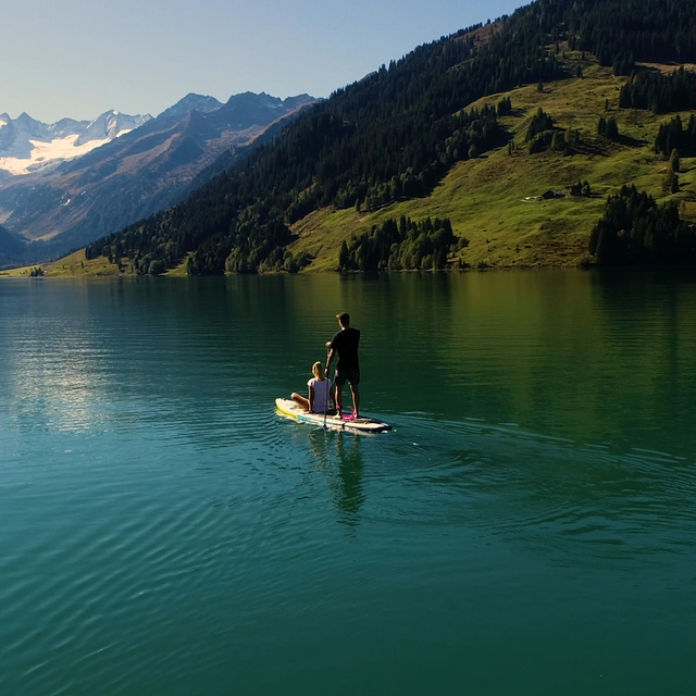
Tour around the Durlaßboden reservoir with minimal elevation gain.
The circular walk starts at the Bräueralm. From there, the route leads to the cosy Seestüberl. It continues over the dam to the rustic Bärschlagalm. You’ll have covered about half the distance by this point. The final section takes you around the lake back to the starting point.
Start: Wald - town centre End: Krimml 7,76 km | medium
Take the Wald Tauern Cycle Route towards Vorderkrimml – turn right at Krimml railway station towards the Schlossbergsiedlung – follow the forest track to the fork behind the wildlife feeding station – turn left towards Falkenstein – head downhill to the second junction – turn right and continue uphill towards Notdorf – continue at a leisurely pace along the fields to Krimml.
E-bike charging station at the Schroll bakery
3 villages – 1 tour
from Wald to Königsleiten
Start: Wald - town centre End: Wald 27.94 km | medium
In the centre of Wald, near the church, take the B 165 along the old Gerlosstraße – after about 7 km you will reach the holiday village of Königsleiten at an altitude of 1,600 metres. From there, head towards Hochkrimml along the toll road – past the toll booth along the Gerlos Alpenstraße – follow this road downhill to Krimml – then take the Tauern Cycle Route back to Wald.
Water experience
KRIMMLER ACHENTAL
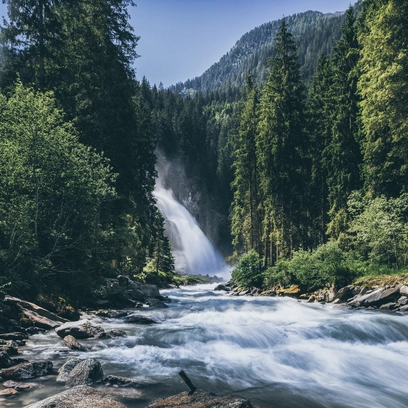
Past the largest waterfalls in Europe, rustic mountain huts and the historic Krimml Tauernhaus in the beautiful Achental valley.
Start: Krimml tourist office End: Innerkeesalm 20.46 km | medium
After leaving the village of Krimml behind you in the direction of Gerlos Alpenstraße, after approx. 2.0 km you will reach a junction on the left-hand side, which leads into the road towards Krimmler Achental. Now follow the ascent along the Krimml Waterfalls to the Anna Tunnel (length 300 m, unlit). From there, a hiking and biking trail leads parallel to the Krimmler Ache, past rustic alpine pastures and serviced huts, to the end of the valley. From here you have the option of climbing up to the Warnsdorfer Hütte or cycling back to the 1st junction, out of the valley to the starting point.
A fantastic tour through the region’s many alpine pastures
NADERNACHTAL
Start: Wald – town centre End: Nadernachtal 15.06 km | mrdium
In the centre of Wald, turn onto the B 165 at the church and follow the old Gerlosstraße for approx. 3 km to the Berghotel Ronach. There, turn right into the Nadernachtal valley and ride through the woods to the Hieburgalm. A fantastic cycle route via the Watschalm and Bacheralm in the heart of the Pinzgau grassy mountains – pure nature! Return to Wald along the same route. Cycle route no. 2F
E-bike charging station at the Schroll bakery in Wald!
A biketour through lush alpine meadows
HAPPPINGALM
Start: Wald - town centre End: Happingalm 10.61 km | medium
In the centre of Walder, turn off at the church onto the B 165, the old Gerlosstraße. Follow the road from there to the bridge in front of the Mühlbauer – turn right here and continue to the ‘Hoched’ farm. Follow the forest track through the woods to the Wurfalm and on to the Happingalm – the alpine pasture area on the Gernkogel is a beautiful spot thanks to its varied flora! Mountain Bike Trail No. 2E
HIKING TIP: On foot, it takes about 1.5 hours to hike across lush alpine and mountain meadows to the summit of the Gernkogel, where you’ll be rewarded with a magnificent panoramic view of the mountains!
Start: Wald – town centre End: Salzachalm 16.41 km | difficult
A fantastic mountain bike tour into the Salzach Valley along the Quellenweg
From the centre of Wald, near the church, take the B 165 along the old Gerlosstraße – 5 km to the second junction after the Hotel Ronach – turn right into the Salzach Valley – Salzachhütte snack bar – Salzachalm – Salzach-/Mülleralm circular route. The Quellenweg also starts at the entrance to the Salzach Valley: as you pass the various stations, you’ll learn all about WATER!
Isskogel
Start: Gerlos Bandstand End: Gerlos Bandstand 26.5 km | difficult
The ‘Königstour’ takes you up Gerlos’ local mountain. A challenging ride with fantastic views.
From the starting point, head towards Gerlos-Gmünd. At the tennis hall, cross the main road and continue along the forest track (Brennachweg) to the Gerlostalalm. Turn right towards the Innerertensalm and follow the winding road up to the Isskogel. The strenuous climb is rewarded with a fantastic view of the Zillertal Alps. A varied descent leads down to the Latschenalm, the top station of the Isskogelbahn. Caution is advised on the final 4 kilometres, as agricultural vehicles may be present. Route characteristics: shaded forest sections, gradients of up to 12% in places; surface: gravel, asphalt